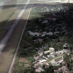
This page of aerial shots was supplied by RAFCA member Peter Huggett (M 1158)
My very good friend from Changi days, Colin Philips [we flew out on the same aircraft and have remained staunch friends to this day], recently donated his aerial photographs of Singapore Island and I wondered if they would be of interest to the association?
They were taken during a sortie that Colin and I did together, after I had gained my pilots licence with the Royal Singapore Flying Club [article with piccies available, if of interest?].
On the 2nd. May 1965 we took off from Paya Lebar and did a ‘round-robin’ of the island with me flying my usual mount, Cessna 150, 9M-AMY [photo ‘singair01’]. We wanted some aerial photographs of the Island, prior to our repat. in July ‘65.
Herewith a list of the photographs and locations where known. Some photographs are mine but Colin took the majority, after all I was supposed to be doing the ‘driving’?
Peter D. Huggett (M 1158)
Copyright and intellectual property of this photographic material, is owned by Peter D. Huggett & Colin Philips.
Credit should be given to the above named for any use of these pictures.
© 1965
| Singair01 | Cessna 150, 9M-AMY. This photograph was taken some time |
| in March. I am in the pilots seat and it was taken by another | |
| friend of mine with my camera. | |
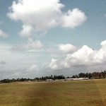
| Singair02 | Taking off grass strip, runway 20, Paya Lebar |
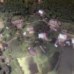
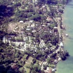
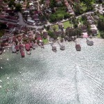
| Singair03 | Somewhere near the south west coast |
| Singair04 | Somewhere near the south west coast |
| Singair05 | Unknown but assumed somewhere near the south west coast |
| Singair06 | Small ‘fuel’ island off the south west coast |
| Singair08 | Unknown warship cruising off the south west coast |
| Singair09 | Somewhere near the south west coast |
| Singair10 | Somewhere on the south west coast |
| Singair11 | Radio station near the south west coast |
| Singair12 | Looking south west |
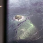
| Singair13 | Pulau Jong [we nicknamed ‘The Hump’] one of the favourite |
| diving sites for the Changi Sub-Aqua Club [of which we were | |
| both members]. I took this photo but the port wing strut got in | |
| the way. | |
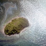
| Singair14 | Colin was able to take a much better photo. |
| Singair15 | Creek on the south west coast |
| Singair16 | A fine shot of the Bukit Timah racecourse |
| Singair17 | Partial shot of the same |
| Singair18 | Pulau Ubin [we called ‘Shell Island’], off the south west coast |
| Singair19 | Sultan of Johore’s Palace, Johore Bahru |
| Singair20 | Johore Causeway from 1,500 feet |
| Singair21 | Southern end of the causeway |
| Singair22 | Unknown island, presumably off the south west coast |
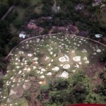
| Singair23 | Chinese cemetery |
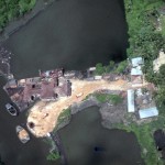
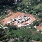
| Singair24 | Unknown construction site [slightly blurred – may have been |
| caused by the transfer onto disc] | |
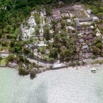
| Singair25 | Tiger Balm Gardens |
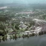
| Singair26 | Unknown but assumed to be somewhere near Singapore City |
| Singair27 | Another radio station near the south west coast |
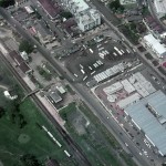
| Singair28 | Johore Bahru Railway Station |
| Singair29 | ‘Downwind’ for grass strip, runway 20, Paya Lebar |
| Singair30 | ‘Base leg’ for grass strip, runway 20, Paya Lebar |
| Singair31 | ‘Finals’ for grass strip, runway 20, Paya Lebar. To the right |
| can be seen British Eagle Airways Britannia G-AOVE [now | |
| resident at Duxford] and two BOAC Comets in Malaysian | |
| Airways markings but carrying British registrations. |